Foursquare ITP was part of a team that produced major enhancements to a datamart of fine-grained vehicle location data. WMATA has had unsupported access to fine-grained automatic vehicle location (AVL) data (also known as “rawnav” data) for years, but the agency had no systematic way of loading, cleaning, and aggregating this data so their planners could use it in bus priority decision-making. Once Foursquare ITP and the project team completed Phase 1 of the datamart, WMATA sought the project team’s assistance with making further enhancements to the bus priority datamart.
In this phase, Foursquare ITP and the project team held stakeholder meetings with data users to identify key priorities. Through this process, the team determined that speed of processing, enhanced documentation for end users, and further aggregation tables were important. Foursquare ITP built a documentation help site to guide all aspects of using and maintaining the datamart, implemented methods to parallelize work to enhance processing speeds, and built new analytical output tables.
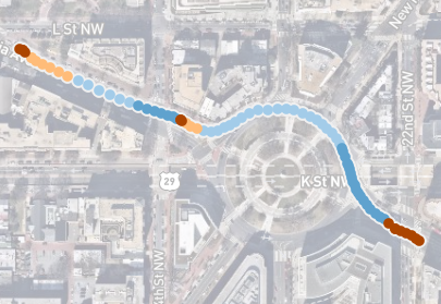
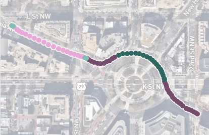
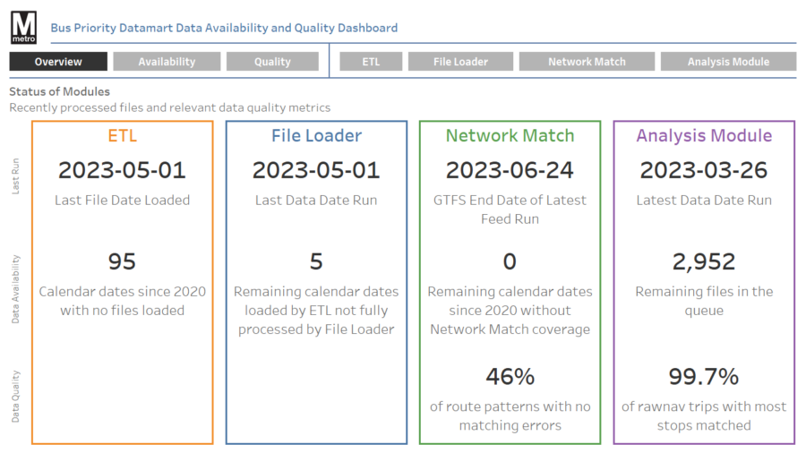
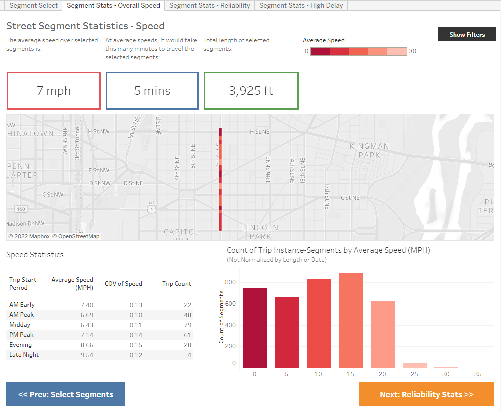
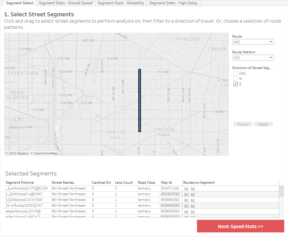
Now, rawnav data can be more readily used for bus priority analyses, including recent work to identify the effects of automatic camera enforcement of bus lanes on bus speeds and the effects of double-parking regulations on segment level performance. The new data availability and quality assurance dashboards identified dates with unprocessed rawnav records and found that 99.7% of trips processed by the bus priority datamart were usable for further analysis.
Solutions and Outcomes
- Conducted further simplification of second-by-second vehicle location data.
- Created data availability and quality assurance dashboards and tables that verify the data accuracy and build trust and understanding among users.
- Enhanced quality of aggregate datasets and dramatically improved speed of data processing.
- Developed an overhauled deployment and maintenance process to ease ongoing use of the datamart straightforward for the client.