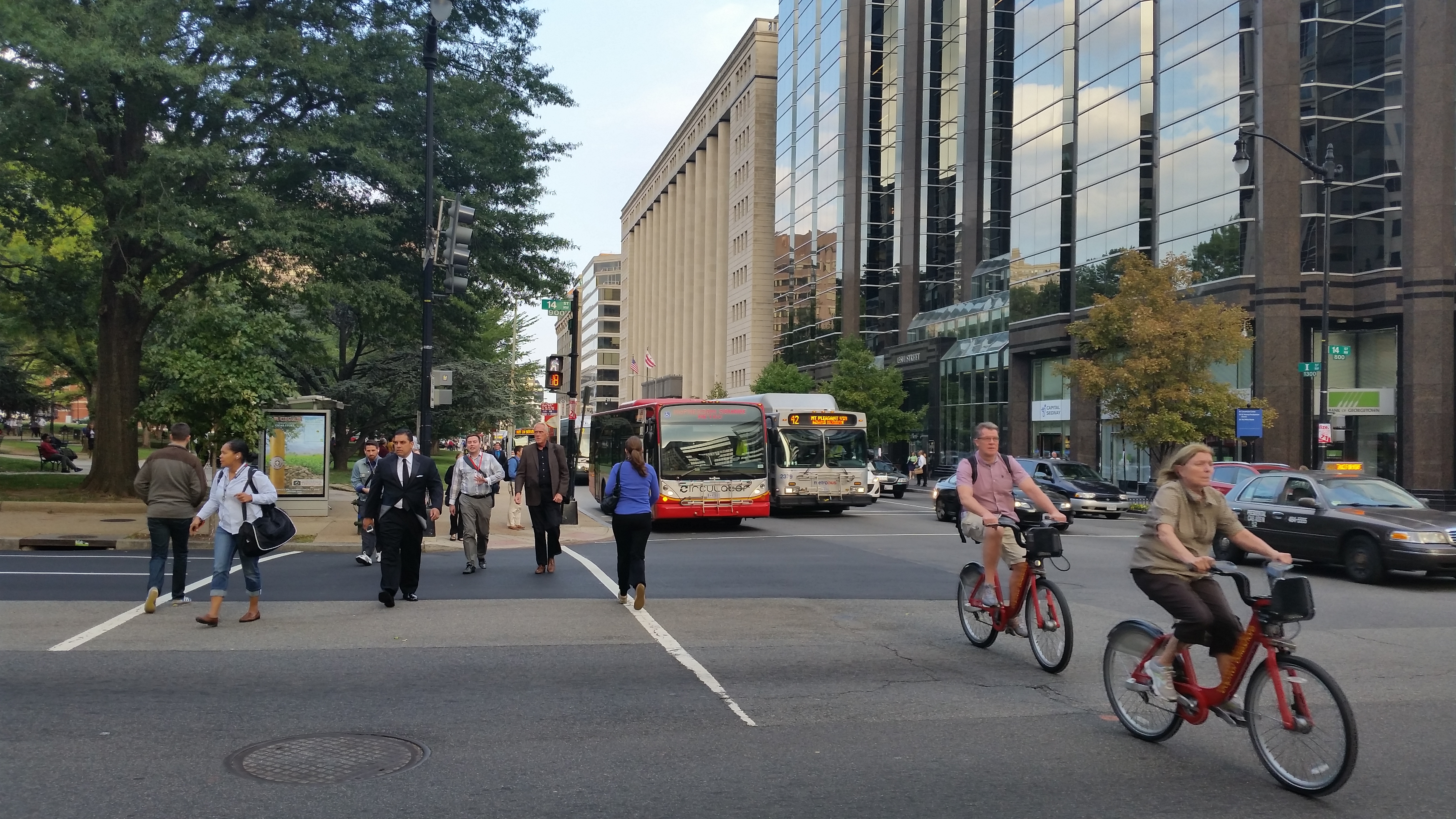
Managed Lanes are an emerging concept in the transportation realm as an effective way to reduce congestion and maximize person throughput on highway facilities.
It used to be that the mere mention of toll lanes brought about a sigh of disdain from the public and elected officials, but recently Managed Lanes have become an all-encompassing program that encourages a family of services, including Commuter/Express Bus, Transportation Demand Management (TDM), High-Occupancy Vehicle initiatives, and intelligent technologies. As a suite, these services work together to mitigate heavily congested areas.
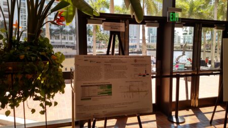
A myriad of jurisdictions across the United States have implemented Managed Lanes. This May I had the great opportunity to participate in the Transportation Research Board‘s 15th International Conference on Managed Lanes in Miami, Florida, focused on the success that transit systems have had with integrating commuter transit services with Managed Lanes projects resulting in dramatically increased ridership.
Foursquare ITP has played a key role analyzing the transit operations along Managed Lanes, along the I-66 Corridor in Northern Virginia and the Southeast Corridor in North Carolina (Independence Boulevard/US 74). We have developed a unique approach that allows us to identify connections people want to make, when they want to make them, and how transit agencies can provide the appropriate services from a transit and TDM perspective.
In Northern Virginia, to accurately develop transit service recommendations we needed to analyze the travel patterns in the I-66 corridor both today and in the future. We utilized the Regional Travel Demand Model to assess travel flows associated with the corridor. Traffic analysis zone data from the model were aggregated into “districts” to represent the corridor’s origin-destination travel sheds. These travel shed pairings, along with stakeholder input, were used to identify transit services and facilities to serve potential demand. Factors derived from existing transit services were then applied to origin-destination pairs to determine the number of buses that would be required to service that pair, and service was recommended for pairs that warranted one or more buses per hour. The resultant plan includes TDM strategies to complement 20 phased bus routes that will connect suburban park-and-rides with key activity centers and other high-capacity transit to increase the passenger throughput of the investment.
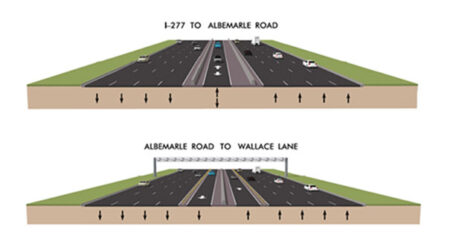
In the Charlotte-Mecklenberg area of North Carolina, we addressed access and capacity issues for the existing express bus system that will use the managed lane corridor along Independence Boulevard/US 74. Evaluating existing Charlotte Area Transit System (CATS) bus routes that operate along this corridor and intersect it, we used origin-destination data, ridership data at the route and stop level, route performance, overcrowding, on-time performance, transfers, and service levels to refine route alignments and develop a system that will maximize the use of the Managed Lanes, increase transit connectivity in the Southeast Corridor, and increase ridership in the system.
These integrated approaches allow us to design systems that will address the present needs while looking to the future, creating systems of services to maximize the efficiency of the public investments and make travel along these congested corridors easier and more enjoyable for all users.
Image Credits:
Virginia Department of Transportation (VDOT) and Virginia Department of Rail & Public Transportation (DRPT), Layered Transit Scenarios Along I-66
City of Charlotte Department of Transportation (CDOT), Managed Lanes on Albermarle Road